3D Orthomosaic Mapping
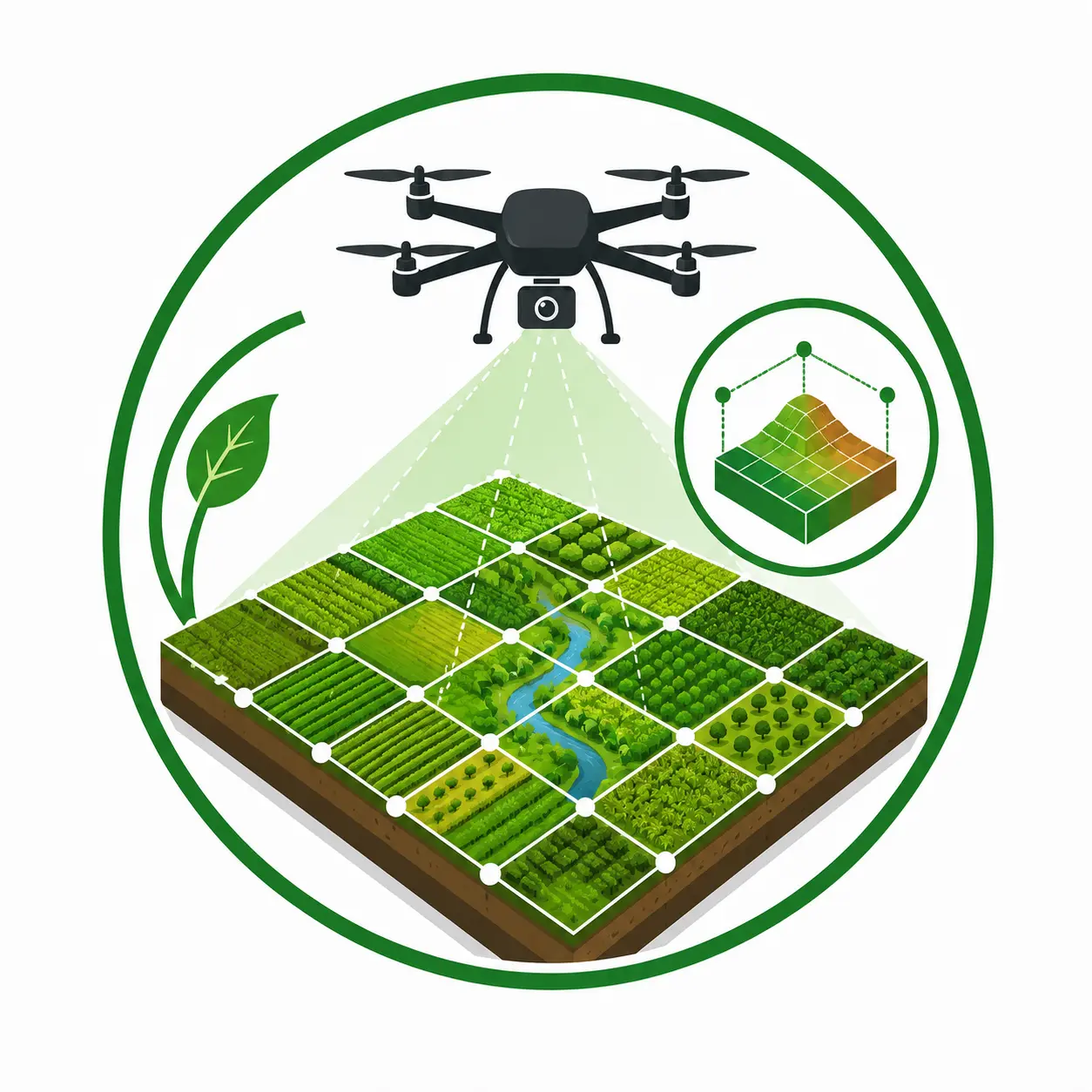
Create highly accurate, georeferenced orthomosaic maps and detailed 3D models of agricultural properties. These products provide an up-to-date aerial representation of fields, allowing producers to evaluate field conditions, monitor changes over time, plan operations, calculate acreage, and support drainage or land improvement projects with survey-grade accuracy.